
The Appalachian Trail is one of the longest continuously marked footpath in the world, measuring roughly 2,180 miles in length. The Trail goes through fourteen states along the crests and valleys of the Appalachian mountain range from the southern terminus at Springer Mountain, Georgia, to the Trail’s northern terminus at Katahdin, Main. Along the way, the trail passes through the states of Georgia, North Carolina, Tennessee, Virginia, West Virginia, Maryland, Pennsylvania, New Jersey, New York, Connecticut, Massachusetts, Vermont , New Hampshire and Maine.
Known as the “A.T.,” it has been estimated that 2-3 million people visit the Trail every year and about 1,800–2,000 people attempt to “thru-hike” the Trail. People from across the globe are drawn to the A.T. for a variety of reasons: to reconnect with nature, to escape the stress of city life, to meet new people or deepen old friendships, or to experience a simpler life.
Trailheads - Springer Mountain, Georgia and Mount Katahdin, Maine
Elevation Change - 90 miles
The Highest Point - Clingman's Dome.
Lowest Point - Hudson River
Trail Difficulty - Moderate to Strenuous.
Season - Spring to Fall.
Sights - Appalachian Mountains.
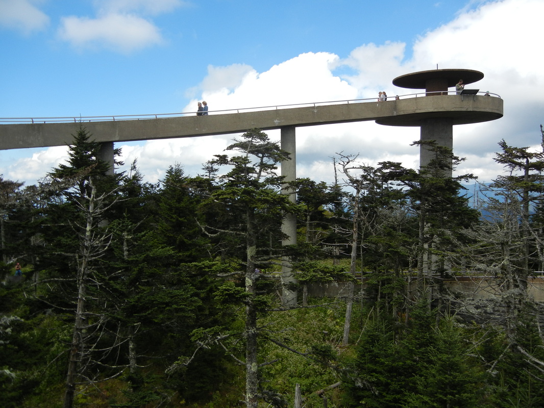
Clingman's Dome
